

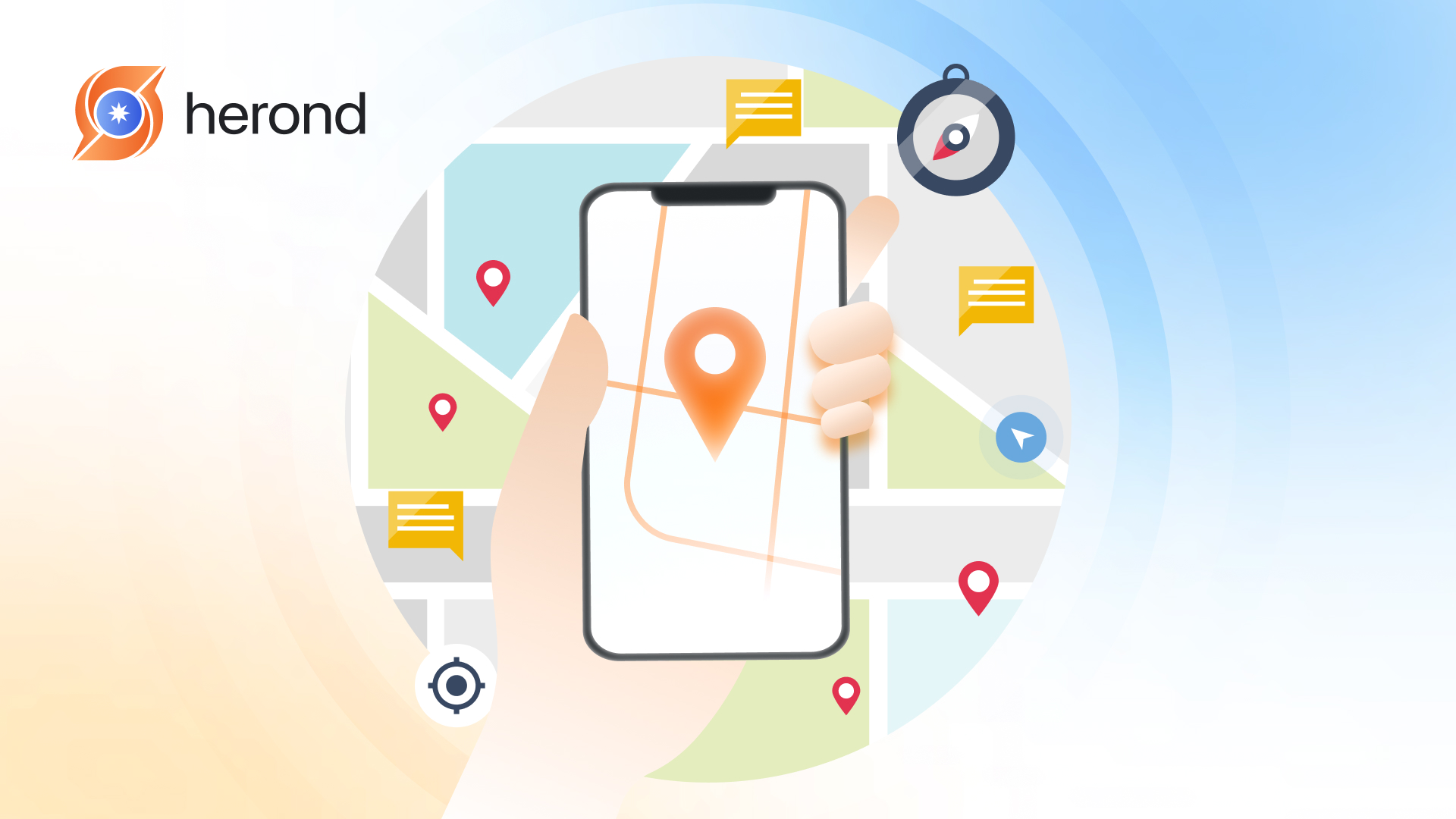
At the present, it is rare to get lost because there are many geolocation technologies that will help us to navigate in almost every place in the world. Literally, geolocation is used in a wide range of applications and services, including mapping and navigation, location-based services, targeted advertising, asset tracking, and security. This article will help you to discover what is the meaning of geolocation and Top 5 popular geolocation tools in 2025.

What is Geolocation Meaning?
Geolocation refers to the process of determining and identifying the geographic location of an object, such as a device, user, or website, using various data sources and techniques. This can include identifying the latitude and longitude coordinates of a device or user and providing additional location-related information.
What are Geolocation Methods?
Geolocation can be performed using different methods, including:
GPS (Global Positioning System)

GPS is a satellite-based navigation system that provides accurate location information by triangulating signals from multiple satellites. GPS is commonly used in smartphones, tablets, and other mobile devices to determine their precise geographic coordinates.
IP Geolocation

IP geolocation involves mapping an IP address to a geographic location. This method uses databases and algorithms to associate IP addresses with specific geographic regions. For instance, countries, cities, or postal codes. While IP geolocation may not be as precise as GPS, it can provide valuable location information, especially for identifying the country or city from which a device is connecting to the internet.
Wi-Fi Triangulation

Wi-Fi triangulation involves using the signals from nearby Wi-Fi networks to estimate the location of a device. By analyzing the strength and proximity of Wi-Fi signals from multiple access points, we can determine the device’s approximate location within a certain radius.
Cellular Triangulation
Cellular triangulation, also known as cell tower triangulation, uses the signals from nearby cell towers to estimate the location of a mobile device. By measuring the signal strength and timing from multiple cell towers, it is possible to determine the device’s approximate location.
How Geolocation Works
Geolocation works by determining the geographic location of a device. For example, it could be a smartphone, computer, or IoT (Internet of Things) device, based on various sources of information, including GPS, Wi-Fi networks, cellular networks, and IP addresses.
Here is a step-by-step description of overall process:
Step 1: Device Initialization
The process begins when a user’s device, such as a smartphone or computer, initializes its geolocation system. This may involve activating the device’s GPS receiver, connecting to Wi-Fi networks, or accessing cellular networks.
Step 2: GPS Satellite Signals (If Available)
If the device has a built-in GPS receiver, it begins receiving signals from satellites in the GPS constellation orbiting the Earth. These signals contain precise timing information and orbital data that allow the device to calculate its exact position on Earth’s surface using trilateration.
Step 3: Wi-Fi Scanning
The device scans for nearby Wi-Fi networks and collects information about their network identifiers (BSSIDs) and signal strengths. It then compares this information to a database of known Wi-Fi access points and their geographic locations. This process, known as Wi-Fi positioning or Wi-Fi fingerprinting, helps the device estimate its location based on the known locations of nearby Wi-Fi networks.
Additional Steps: Cellular Triangulation or IP Geolocation (If GPS is Unavailable)
- Cellular Triangulation: If GPS signals are weak or unavailable, the device can determine its location by triangulating its distance from nearby cellular towers. By measuring the signal strength and timing of signals from multiple towers, the device can estimate its position relative to the towers. This technique, known as cell tower triangulation, provides location information in areas where GPS signals are weak or unavailable.
- IP Geolocation: In some cases, the device’s IP address can be used to approximate its geographic location. IP geolocation databases map IP addresses to geographic locations based on information provided by ISPs (Internet Service Providers) and other sources. While IP geolocation is less accurate than GPS or Wi-Fi positioning, it can still provide useful location information, especially for desktop computers and devices connected to wired networks.
Step 4: Data Fusion
The device combines the location estimates obtained from GPS, Wi-Fi, cellular, and IP-based techniques to calculate its final position. By combining data from multiple sources, the device can improve the accuracy and reliability of its location estimate.
Step 5: Location Services
Once the device’s location has been determined, it can be used for various purposes, such as navigation, location-based services, asset tracking, emergency response, and targeted advertising.
Top 5 Geolocation tools 2024
Google Maps Platform

Google Maps Platform is a suite of geolocation services and APIs (Application Programming Interfaces) offered by Google that allow developers to integrate mapping, routing, geocoding, and location-based features into their applications and services. It provides access to rich, interactive maps, real-time traffic data, and a range of geospatial tools and services that enable developers to create customized mapping experiences for their users.
IP2Location
IP2Location is a commercial geolocation service that provides accurate information about the geographic location of an IP address. It offers a range of databases and APIs that allow users to determine the country, region, city, latitude, longitude, ZIP code, time zone, ISP, domain name, connection type, and other relevant information associated with an IP address.

IP2Location databases are updated regularly and cover a wide range of IP addresses globally. They are commonly used by businesses, website owners, developers, cybersecurity professionals, and law enforcement agencies for various purposes, including Geotargeting, Fraud Detection, Content Localization, Analytics and Reporting, etc.
Maxmind GeoIP2
MaxMind GeoIP2 is a geolocation database and API service offered by MaxMind, a provider of IP intelligence and geolocation services. GeoIP2 provides accurate information about the geographic location of IP addresses, allowing businesses and organizations to better understand and analyze their online audience, enhance user experiences, and improve security.

From a more detailed perspective, MaxMind offers GeoIP2 in two main formats: a downloadable database and a web service API. The GeoIP2 database is available in various formats. The formats include binary (MMDB), CSV, and JSON, and can be integrated into applications and systems to perform offline geolocation lookups. The GeoIP2 web service API allows developers to perform real-time geolocation lookups by sending HTTP requests to MaxMind’s servers.
IPinfo.io
IPinfo.io is a comprehensive IP geolocation and IP address data API service. It provides developers and businesses with accurate and detailed information about IP addresses. For example, geolocation data, ASN (Autonomous System Number) information, company data, and more.

IPinfo.io offers a range of APIs that allow developers to integrate IP geolocation and IP address data into their applications and services. These APIs include IP Geolocation API, ASN API, IP Type API, and ISP API.
Esri ArcGIS

Esri ArcGIS is a comprehensive geographic information system (GIS) platform developed by Esri. ArcGIS allows users to create, manage, analyze, and visualize geographic data in various formats. As a result, it enables them to make decisions and solve complex spatial problems across various industries and applications.
It is widely used by government agencies, businesses, and researchers for a variety of geolocation-related tasks, including mapping, data visualization, and spatial analysis.
Conclusion
To sum up, geolocation technology has become an integral part of modern computing and communication systems. It helps to enable a wide range of applications and services that rely on knowing the user’s location.
Nowadays, there are many geolocation tools that can be taken into consideration. Each will have specific pros and cons. Therefore, it is crucial to research and evaluate different options when choosing a geolocation tool for your project or purposes. The criteria should be based on your specific needs, requirements and preferences.
About Herond Browser
Herond Browser is a Web browser that prioritizes users’ privacy by blocking ads and cookie trackers, while offering fast browsing speed and low bandwidth consumption. Herond Browser features two built-in key products:
- Herond Shield: an adblock and privacy protection tool;
- Herond Wallet: a multi-chain, non-custodial social wallet.
Herond aims at becoming the ultimate Web 2.5 solution that sets the ground to further accelerate the growth of Web 3.0, heading towards the future of mass adoption.
Join our Community!